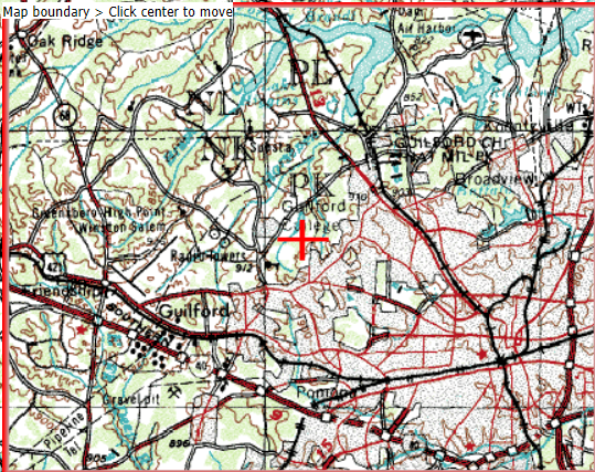
The responsibility of providing the history of a place can be a daunting one. Questions like where to begin, what to look for, how to look for it, and ultimately what is even important can often be very difficult ones to answer. In terms of the history of Price Park, I have come to many dead ends in terms of looking for its history, which, given the history I know about the Guilford woods and because of its proximity to Price Park, I am almost sure is a rich one. Regardless of my assumptions, however, every time I attempt to search the park on an online database, or on a map history database, etc., the farthest back I have been able to go is 1967, and not a whole lot about the layout of the park has changed since then. In addition, even the maps I have been able to find online as far back as that date would cost me upwards of $20 to screenshot or save, but I am hoping to be able to provide a hand drawn replica of one and much more history in upcoming blog posts than what is to come in this.
Having done lots of inconclusive research on Price Park, I ended up calling the Kathleen Clay Edwards Public Library Branch, which is in the center of the park. I asked some questions about the park’s history, and my initial assumptions were confirmed. Like Guilford’s campus, and the woods at Guilford, a lot of the known history of Price Park regards its usage as park of the Underground Railroad, as well as it being the territory for the Revolutionary War in the mid 1800s. Aside from Guilford woods related history, all they could tell me was that the library (before its opening in the early 2000s), was a life insurance agency, which originally opened in the 1950s. This life insurance agency, because of its longevity on the park and its responsibility for allowing the library to take its place, insisted that if a library were to open there, the Kathleen Clay Edwards Branch could not make any significant architectural changes that would stray from the original footprint of the life insurance agency. I’m not sure why this is, but the person working at the library who told me this chuckled and said it was very strange. Finally, I was redirected to the information and archives desk at the downtown library branch, which supposedly has a plethora of information about Price Park’s history before it was Price Park. Therefore, I am ultimately hopeful about finding out much more worthwhile human history of the land.
On a separate note, while human history is certainly interesting, I feel as though the natural history of the land is equally as important. I am hoping to be able to find maps of the park that date further back than the late 60’s so I can compare and contrast the two, and ultimately learn how much humans have affected the natural layout of the land. While I know about how the trees there have progressed over time, and that many of them have been there for over a hundred years, I am curious to know how much more forestry may or may not have been there, as well as waterways, etc. I look forward to talking to the people at the downtown library and finding out what I can about this park that I have grown to love in its current state.